3 years agoSimple way to create locator / Inset Map on QGIS for your research site #qgis #locatormap #insetPro Geomatics
3 years agoHow to Setup QGIS environment on your PC & create a proper working directory #qgis #gis #geomaticsPro Geomatics
2 years agoDjango CRM Project Part-3|Django CRUD Opration |Django mini ProjectPython Django framework by Gridi Show
3 years agoLevel Survey Part 4: How to conduct a level survey - from benchmark 1-2 #engineering #surveyPro Geomatics
3 years agoLevel Survey Part 3: How to set up and read Automatic Level on site #engineering #survey #sitePro Geomatics
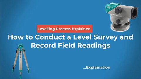
3 years agoLevel Survey Part 2: How to Conduct a Level Survey and Record Field Readings #engineering #surveyPro Geomatics
3 years agoLevel Survey Part 5: Rise and Fall method of reducing Level Data into Elevations/SpotheightsPro Geomatics
4 months agoWhite Privilege, Prison Stories, and the Air Force's Boob JobsPeasants Perspective J6 experienceVerified
3 years agoHow to make proposed design for Cut and Fill Profiles on Autocad Civil 3D #autocad #design #civil3dPro Geomatics
3 years agoQGIS Map Labels: How to correctly label your map using Single &Rule-based Styles in GIS #qgis #gisPro Geomatics
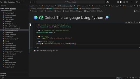
3 years agoImport excel and CSV files to python || Simple steps 100% easy #python #datasciencePro Geomatics
3 years agoLevel Survey PART 1: Why we need DATUMS for level surveys #survey #landsurveying #engineeringPro Geomatics
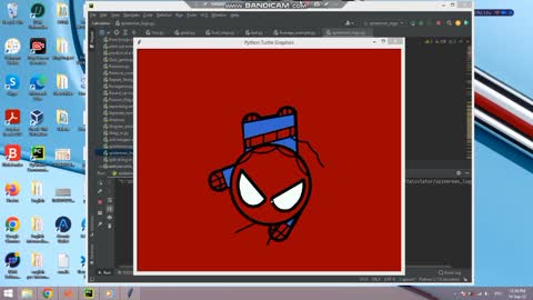
2 years agoHow to draw spiderman using python turtlePython programming for gamers, beginners, experts
2 years agoModel & Database In Django | how to create models in djangoPython Django framework by Gridi Show
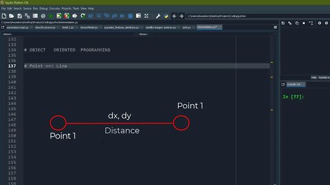
3 years agoHow I explain Object Oriented Programming to absolute beginners WITH ILLUSTRATION | #oop #pythonPro Geomatics