Premium Only Content
This video is only available to Rumble Premium subscribers. Subscribe to
enjoy exclusive content and ad-free viewing.

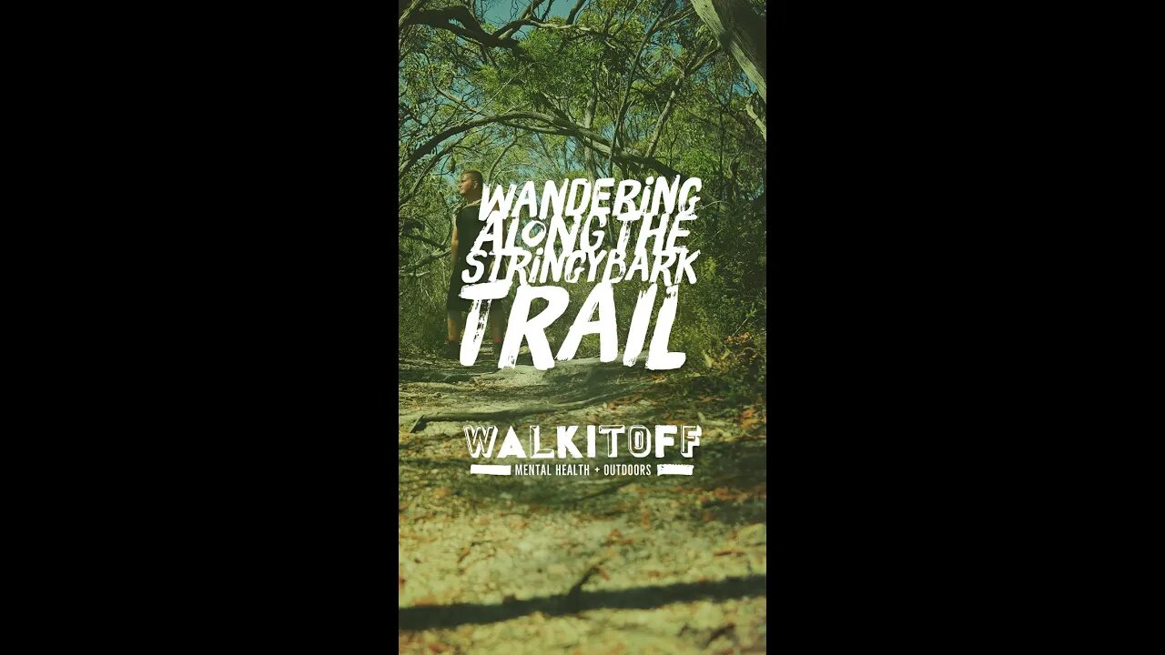
Stringybark Trail - Hiking Map - Australian Hikes
4 years ago
4
#shorts #hiking #australia
• About 1 Hour and 15 minutes drive north east of Adelaide just outside of Tanunda.
• Trailhead is on Tanunda Creek rd.
• There is no offload carpark or facilities of any kind. There however a couple of roadside spots available but be careful as this road is fairly busy with large trucks.
• The trails is easy and accessible, its surface is wide save for a couple of small bottlenecks caused by fallen trees.
2.77km (round trip)
Elevation: 492m - 518m
Incline: MAX: 15.1% AVG: 3.7%
Kaiserstuhl, South Australia.
Map Link: bit.ly/3cdms3F
Loading comments...
-
 19:57
19:57
Neil McCoy-Ward
7 hours agoThinking Of Relocating? (You'd Better Act FAST! 🚨)
6684 -
 LIVE
LIVE
Jeff Ahern
43 minutes agoMonday Madness with Jeff Ahern
49 watching -
 1:07:25
Timcast
3 hours agoBomb DETONATED At Harvard, Attacks On Ice Agents SKYROCKET
149K126 -
 1:55:31
Steven Crowder
5 hours agoTucker Carlson & MAGA: Everyone is Missing the Point
377K299 -
 1:11:22
The Rubin Report
4 hours agoWatch Joe Rogan’s Face as Elon Musk Exposes How Dems Are Cheating in Plain Sight
62.1K82 -
 1:01:07
VINCE
6 hours agoThe Walls Are Closing In On The Deep State | Episode 160 - 11/03/25
245K151 -
 LIVE
LIVE
LFA TV
21 hours agoLIVE & BREAKING NEWS! | MONDAY 11/3/25
1,934 watching -
 1:31:18
Graham Allen
6 hours agoErika Fights Back: Vows To EXPOSE TRUTH & DEMANDS Trial Goes Public!! Left Says Her Grief Is FAKE!
159K83 -
 2:08:47
Badlands Media
11 hours agoBadlands Daily: November 3, 2025 – Tariff Wars, SNAP Panic & Brennan Gets Confronted
78.9K20 -
 2:59:32
Wendy Bell Radio
10 hours agoThings Will Get Worse Before They Get Better
101K117