Premium Only Content
This video is only available to Rumble Premium subscribers. Subscribe to
enjoy exclusive content and ad-free viewing.

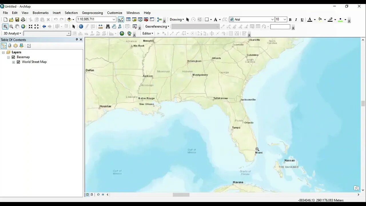
Step 2 Geotiff to ArcMap
Loading comments...
-
 LIVE
LIVE
Chris Ripa
11 hours agoTHE WAKE UP CALL - 02/06/2026 - Episode. 58
468 watching -
 3:46
3:46
Geoff_Tac
19 hours agoNEW Watchtower Apache #Shotshow2026
4.16K -
 18:57
18:57
Brad Owen Poker
21 hours ago $0.16 earnedAll In For Piles!! The PERFECT HAND At Perfect Time!!! Winning HUGE @ Bellagio! Poker Vlog Ep 208
3.19K2 -
![Why Manifesting Fails [The Ancient Missing Key]](https://1a-1791.com/video/fww1/c3/s8/1/M/D/v/W/MDvWz.0kob-small-Why-Manifesting-Fails-The-A.jpg) 15:31
15:31
The Kevin Trudeau Show Limitless
1 day agoWhy Manifesting Fails [The Ancient Missing Key]
56.9K17 -
 LIVE
LIVE
BEK TV
22 hours agoTrent Loos in the Morning - 2/06/2026
186 watching -
 37:39
37:39
ZeeeMedia
17 hours agoU.S. Economy A LOT Worse in 2026 ft. Ed Dowd | Daily Pulse Ep 191
70K19 -
 4:49
4:49
Paul Joseph Watson
1 day agoThey're In For A Shock
18.6K49 -
 11:26
11:26
Isabella Moody
1 day agoBill Maher ATTACKS Nick Fuentes... INSTANT REGRET Hits Hard! Audience Turns AGAINST Him!
32.1K26 -
 14:28
14:28
MattMorseTV
14 hours ago $9.99 earnedSchumer got CAUGHT on LIVE TV.
71.4K102 -
 20:39
20:39
Nikko Ortiz
3 days agoMilitary Clips Gone Wrong #6...
47.8K8