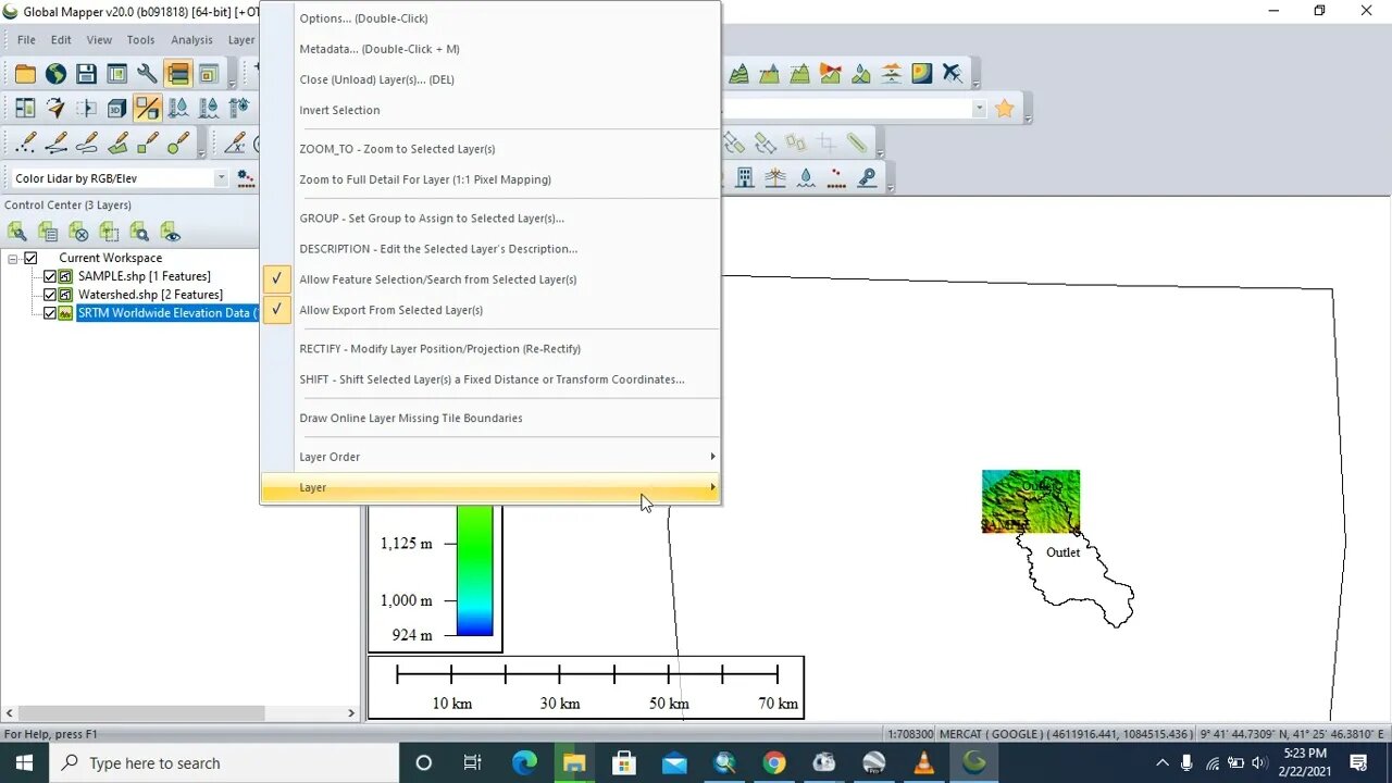
How to Georeference, mask with Dem & Export a watershed from Globalmapper to ArcGis
3 years ago
29
Watershed delineation is a process for creating an area from which runoff is collected and drained through common convergence point for a study area.
Simmerized Watershed Delineation Steps Using ArcGIS
Step 1: Fill DEM sinks
Step 2: Determining flow direction
Step 3: Flow Accumulation
Step 4: Snapping Pour point and
Step 5: Watershed Delineation
Factors Considered for Watershed Delineation
-Biophysical elements (Climate, Water, Drainage, Soil ,Vegetation, Slope, Status of erosion, LULC, Land capability classes etC.)
-Socio-economic elements (People, Farming system, Social set up, Economic activities, Vulnerability profile, Gender etc.)
-Softwares used for this tutorial are Global Mapper, ArcGIS, DEM, Google Earth
Loading comments...
-
 LIVE
LIVE
Sarah Westall
1 hour agoDo Near Death Experiences Provide a Glimpse into Reality? w/ Darius Wright
98 watching -
 49:36
49:36
Barry Cunningham
2 hours agoMUST SEE: PAM BONDI AND KAROLINE LEAVITT MAKE REMARKS! | AND MORE NEWS!
79.1K16 -
 41:11
41:11
Donald Trump Jr.
21 hours agoMaking America Affordable Again, Interview with Economist Steve Moore | TRIGGERED Ep.294
107K91 -
 1:02:43
BonginoReport
4 hours agoThe Insane Proposal That Will Ruin Elections FOREVER - Nightly Scroll w/ Hayley Caronia (Ep.184)
38.6K37 -
 16:56
16:56
T-SPLY
5 hours agoTennessee Lawmaker Running For Congress Admits To "Bullying" ICE Vehicles
2.14K5 -
 LIVE
LIVE
LFA TV
23 hours agoLIVE & BREAKING NEWS! | MONDAY 11/24/25
497 watching -
 1:44:50
Mike Mac - Say Something
1 day agoSay Something Beyond W/MikeMac: DR. HEATH - Ep.15
13.2K -

Quite Frankly
6 hours agoGrief & Gratitude, Pyretta Blaze, Crazy News | Megan Daubert 11/24/25
11.6K6 -

The Mike Schwartz Show
7 hours agoTHE MIKE SCHWARTZ SHOW Evening Edtion 11-24-2025
13K3 -
 1:04:03
TheCrucible
5 hours agoThe Extravaganza! EP: 64 (11/24/25)
97K12