Premium Only Content
This video is only available to Rumble Premium subscribers. Subscribe to
enjoy exclusive content and ad-free viewing.

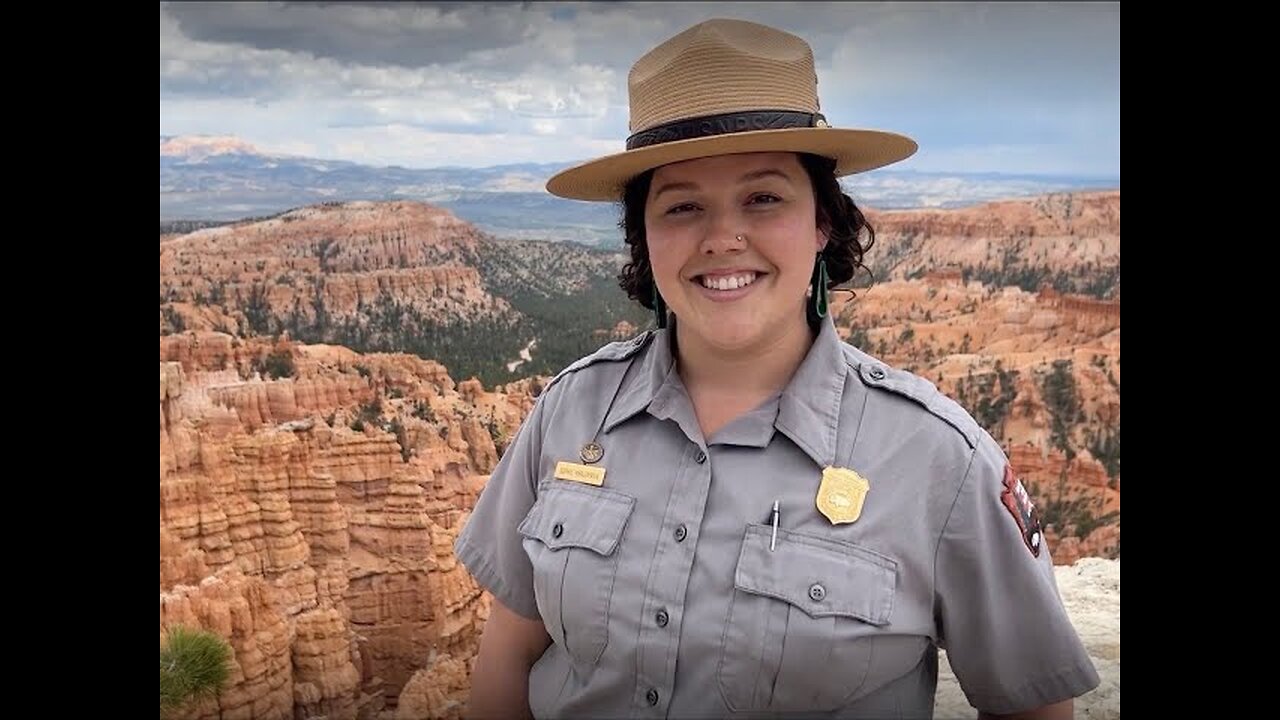
Seeing Satellite Benefits on the Ground with the National Park Service
2 years ago
7
From the hoodoos in Bryce Canyon to the caves of Carlsbad Caverns and the giant sequoias of Yosemite, did you know researchers use NASA satellite data in National Parks?
Our view from space can help monitor water resources, assess air quality, analyze fire patterns, track vegetation changes, and more. It all helps the National Park Service make informed decisions for protecting and restoring America’s most beautiful natural spaces.
Loading comments...
-
 23:38
23:38
ArynneWexler
10 hours agoAOC vs Riley Gaines The Twitter War | NN7
3.56K4 -
 11:18
11:18
Rethinking the Dollar
9 hours ago9 Signs the US Economy Is Quietly Collapsing
2.69K6 -
 1:01:44
BonginoReport
5 hours agoHalf Naked Trucker Nabbed In Traffic Stop - Nightly Scroll w/ Hayley Caronia (Ep.166)
105K87 -
 LIVE
LIVE
SpartakusLIVE
4 hours agoNEW - REDSEC Battle Royale || The Duke of Nuke CONQUERS ALL
162 watching -
 2:26:31
Mally_Mouse
12 hours ago📣Telescreen Talks - LIVE!
27.5K2 -
 1:52:56
Quite Frankly
8 hours agoAggressive Texting, Practice Citizenship Test, Fed vs Fed | 10/29/25
21.7K5 -
 2:08:33
Blabs Games
3 hours agoLet's Get Funky - Jurassic World Evolution 3 Stream #2
15.2K2 -
 LIVE
LIVE
Putther
2 hours ago $0.27 earned🔴BILLY ANDERSON RETURNS!
16 watching -
 2:03:00
The Mike Schwartz Show
4 hours agoTHE MIKE SCHWARTZ SHOW Evening Edition 10-29-2025
23.1K3 -
 2:26:31
SavageJayGatsby
5 hours ago📣Telescreen Talks - LIVE!
13.1K