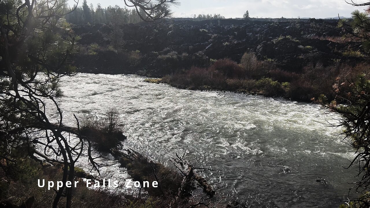
HIKING EXPLORING the Deschutes River Upper Falls Zone IN THE POURING RAIN! | Central Oregon | 4K
Chapters & Timestamps:
0:00 Arriving at the Edge of the EPIC Upper Falls Zone IN THE POURING RAIN!
0:24 Hiking Above the Upper Falls Area, a River Forest Volcanic Lava Rock Wonderland!
0:54 "Silent Perspectives" 4K Montage of 7 Unique Clips of Upper Falls & National Wild & Scenic Upper Deschutes River framed by Deschutes National Forest
In my opinion, there are about 8 Miles of PREMIUM River Shoreline Hiking on Deschutes River Trail along National Wild & Scenic Upper Deschutes River, Deschutes National Forest, Central Oregon.
This is EASILY a TOP 5 River Shoreline Hike in the Great State of Oregon! There are 3 Strategic Approaches to Capture/Tackle this EPIC area:
1) 8 Mile Point-to-Point Hike from Meadow Day Use Area to Sun-Lava Path Trailhead (called East Benham Falls Trailhead on Google Maps), in either Direction, need to arrange transportation at end of Hike!
2) 16 Mile Out & Back Hike from Meadow Day Use Area to Dillon Falls to Benham Falls to Sun-Lava Path Trailhead (called East Benham Falls Trailhead on Google Maps), in either Direction, no transportation logistics required, the Superstar Hiker Method!
3) Break Deschutes River Trail up into 2 separate more leisurely 8-Miles'ish Out & Back Hikes using Dillon Falls as the Midpoint:
a) Meadow Day Use Area Trailhead to Dillon Falls & Back.
b) Sun-Lava Path Trailhead (called East Benham Falls Trailhead on Google Maps) to Dillon Falls & Back.
On April 22, 2022, I Hiked 8 Miles Point-to-Point from Sun-Lava Path Trailhead (called East Benham Falls Trailhead on Google Maps) heading North to Benham Falls, Slough Day Use Area, Dillon Falls, Aspen Day Use Area, Big Eddy, Upper Falls, Lava Island Day Use Area, Lava Island to Meadow Day Use Area. It was a Low of 29F. Here is the FULL HIKE Video Link of that Hike:
On May 6, 2022, I Hiked 8 Miles Point-to-Point from Meadow Day Use Area Trailhead heading South to Lava Island, Lava Island Day Use Area, Upper Falls, Big Eddy, Aspen Day Use Area, Dillon Falls, Slough Day Use Area & Benham Falls to Sun-Lava Path Trailhead (called East Benham Falls Trailhead on Google Maps). It was a Low of 33F. There was a freak Hail Storm that added to the experience:
-
 1:37
1:37
HikingViking
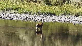
1 month ago(4K UHD) HIKING HIGHLIGHTS - Deer @ John Day River! | Hunting & Fishing | Cottonwood Canyon | Oregon
69 -
 7:42
7:42
Dr. Nick Zyrowski
5 hours agoNAC ( N-Acetyl Cysteine) - The Supplement the FDA Tried to Ban (Here’s Why)
4463 -
 2:03:34
Tucker Carlson
1 hour agoCovid Whistleblower: Predicting Pandemics & Exposing the CIA and Peter Daszak’s Alliance With China
907 -
 35:26
35:26
Sean Unpaved
2 hours agoMLB Meets CFB Chaos: Ohtani's Unicorn Night, Napier's Swamp Exit, & Bama's Rivalry Roll!
4.7K -
 LIVE
LIVE
Nerdrotic
4 hours agoOne Woke After Another Isn't WOKE According to Woke People? - Nerdrotic Nooner 527
386 watching -
 1:03:26
Timcast
2 hours agoSecret Service Discovers HUNTING STAND Aimed At Trump, No Kings Protests FLOP
107K95 -
 2:03:54
Steven Crowder
4 hours agoNo Kings Lies Debunked: The Largest Protest Ever or Communist Psyop?
303K298 -
 LIVE
LIVE
Side Scrollers Podcast
21 hours ago🔴SIDE SCROLLERS FUND-A-THON🔴DAY 1🔴100% REVENUE HELPS CHANGE CULTURE!
784 watching -
 LIVE
LIVE
Rebel News
1 hour agoLiberal minister's silence over ostriches, Richmond land grab, Smith saves Ontario | Rebel Roundup
390 watching -
 20:01
20:01
Neil McCoy-Ward
1 hour ago🚨 The UK Can't Survive Much More of THIS...
4.75K2