From Space to Soil: How NASA Sees Forests
4 months ago
16
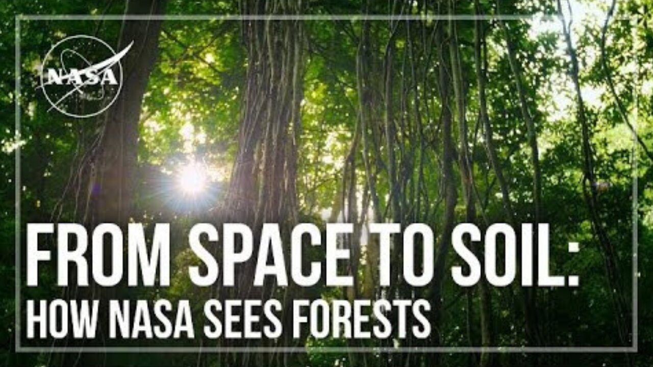
NASA uses satellite lidar technology to study Earth’s forests, key carbon sinks. The GEDI mission maps forest height and biomass from the International Space Station, while ICESat-2 fills polar data gaps. Together, they enable a first-of-its-kind global biomass map, guiding smarter forest conservation and carbon tracking.
Click This link for More information
Loading comments...
-
 9:23
9:23
NASA
6 days agoBlastoff! SpaceX launches Starlink batch 10-37 from Florida, nails landing
12 -
 1:40:36
The Quartering
5 hours agoKimmel Pulls Show Mysteriously, Youtube Collapse? & Much MOre
98.5K57 -
 LIVE
LIVE
cosmicvandenim
5 hours agoCOSMIC VAN DENIM | OFF CHARACTER | WARZONE PRACTICE
83 watching -
 2:08:06
The Robert Scott Bell Show
5 hours agoMike Adams, Brian Hooker, Live From Brighteon Studios in Austin Texas, Kids Triple Vaccinated, Blood Sugar and Autism, Candy Fed to Cows, Nutrition Reform - The RSB Show 11-7-25
30.8K6 -
 LIVE
LIVE
GritsGG
4 hours ago#1 Most Warzone Wins 3943+!
26 watching -
 1:15:58
DeVory Darkins
5 hours agoLIVE NOW: Democrats SABOTAGE GOP effort to reopen Government
108K60 -
 1:21:21
Tucker Carlson
5 hours agoThe Global War on Christianity Just Got a Whole Lot Worse, and Ted Cruz Doesn’t Care
63.2K263 -
 10:50
10:50
Dr. Nick Zyrowski
2 days agoDoctors Got It Wrong! This LOWERS CORTISOL In Minutes!
27.7K4 -
 24:14
24:14
Verified Investing
2 days agoBiggest Trade As AI Bubble Begins To Burst, Bitcoin Flushes Through 100K And Gold Set To Fall
23.2K -
 1:12:28
Sean Unpaved
5 hours agoAB's Dubai Drama: Extradited & Exposed + NFL Week 10 Locks & CFB Week 11 Upsets
29.9K