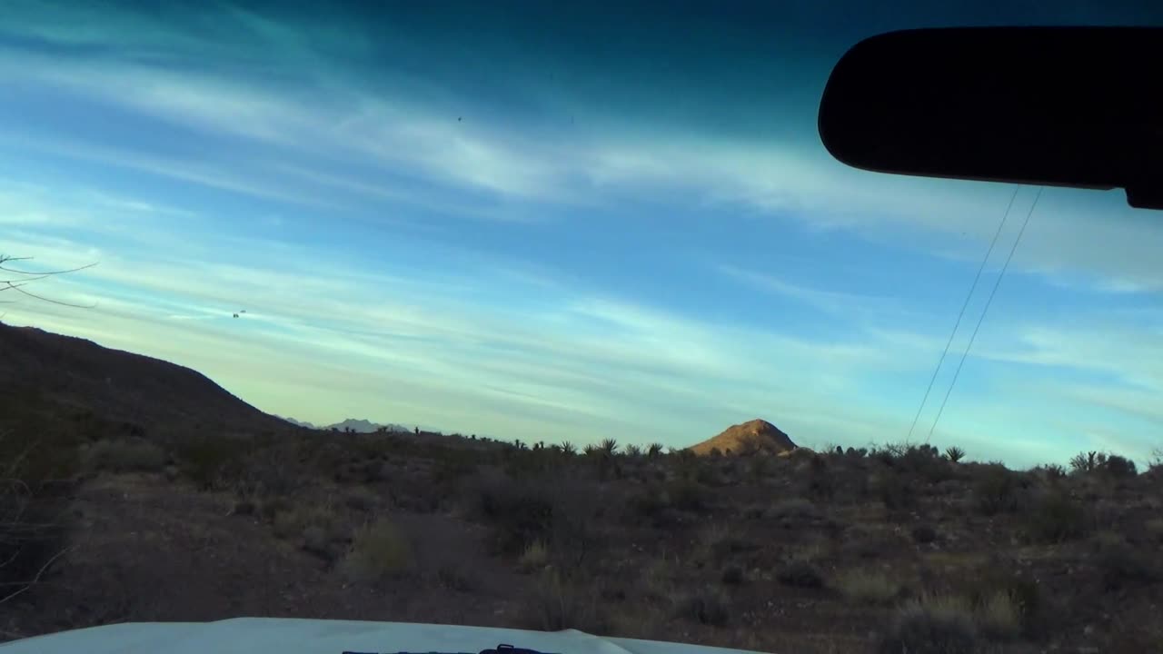
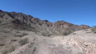
Bridge Spring Ash Andesites
35.761061, -114.837952
Mafic lava flows below and above the Bridge Spring Ash fall of 15.2 Ma. The welded Bridge Spring Tuff examples shown were from the land of chaos 4 miles to the northwest of the same lithified ash here.
Tdml Mafic lavas—Modified from Anderson (1977). Dark-gray and dark-grayish, red-purple andesite flows below rhyolite and rhyodacite unit (Tdrl) and above Tuff of Bridge Spring (Tb). Includes as many as 16 andesite flows with a total thickness of as much as 275 m. Distinctly porphyritic varieties contain about 25 percent phenocrysts of plagioclase, augite, and altered olivine with minor altered orthopyroxene as individual grains and as cores surrounded by augite. Principal accessory minerals are iron oxides and apatite. Pyroxene to olivine ratio is typically about 3:1. Includes some outcrops of Tdm of Anderson (1977). Ages range from 15.1 to 15.00 Ma (40Ar/39Ar; Gans and Bohrson, 1998)
Tb Tuff of Bridge Spring (middle Miocene)—Modified from Anderson (1977). Welded to non-welded, gray to pale-red, quartz-free rhyolitic ash-flow tuff; purplish-gray andesitic lithic inclusions are common. Phenocrysts of sanidine, plagioclase, biotite, augite, and hornblende are present in varying amounts and proportions. Sphene is principal accessory mineral present in variable amounts. Where exposed in vicinity of highway 60, consists of two cooling units that total up to about 180 m thick. Also occurs in isolated outcrops south of Malpais Flattop Mesa and east of Indian Rapids (north of Willow Beach). Originally mapped and described by Anderson (1971), tuff is inferred to have erupted from a caldera in northern Eldorado Mountains (Gans and others, 1994). 40Ar/39Ar ages from outcrops near type section along highway 60 in Eldorado Mountains range from 15.03±0.06 to 15.34±0.06 Ma (Gans and Bohrson, 1998)
Tpu Upper part—Modified from Anderson (1977, 1978). Dark-purplish-gray, massive, porphyritic pyroxene-olivine andesite and basaltic andesite flows locally interstratified with thin beds of whitish-gray tuffaceous sedimentary rocks. Includes at least one flow of hornblende-biotite rhyodacite near base; rhyodacite contains sparse quartz and sanidine and common accessory sphene. Exposed in southern part of map area along State Highway 60 and southwest of Malpais Flattop Mesa. Maximum thickness approximately 500 m
Free Updated Geologic Map of the Black Canyon Area:
https://pubs.usgs.gov/of/2013/1267/a/
-
 46:09
46:09
Rocks of Eldorado NV
2 days ago $0.08 earnedDead Goats, Dead Turtles, and Limestones
441 -
 LIVE
LIVE
LumpyPotatoX2
2 hours agoOTG + Rumble Gaming Event?! - Powered by Rumble Studio
72 watching -
 LIVE
LIVE
TrentsWRLD Games
2 hours agoTop 250👑Top 250👑 Late night resurgence grind🔥😫 |*LIVE*| Black Ops 7
90 watching -
 2:38:50
Nikko Ortiz
3 hours agoNew Game Hytale Chill Stream... | Rumble LIVE
21.3K2 -
 2:10:24
The Quartering
4 hours agoTIMES UP IN MINNEAPOLIS, ICE KARENS RUINING THEIR LIVES & MORE
189K93 -
 19:47
19:47
Robbi On The Record
14 days ago $4.73 earnedThe Credit Card Strategy Banks Hope You Never Learn | part II ft Rachel.Points
16.1K2 -
 LIVE
LIVE
GritsGG
7 hours agoWin Streak Camo TODAY! #1 Warzone Victory Leaderboad 895+ Ws!!🔥
383 watching -
 1:03:41
MattMorseTV
6 hours ago $46.29 earned🔴Absolutely NO ONE saw this coming…🔴
155K266 -
 3:17:10
GamerGril
4 hours agoKneecapping Zombies 💕Resident Evil 2💕
19.8K3 -
 LIVE
LIVE
Lofi Girl
3 years agolofi hip hop radio 📚 - beats to relax/study to
194 watching