Major Update On This Upcoming Winter Storm...
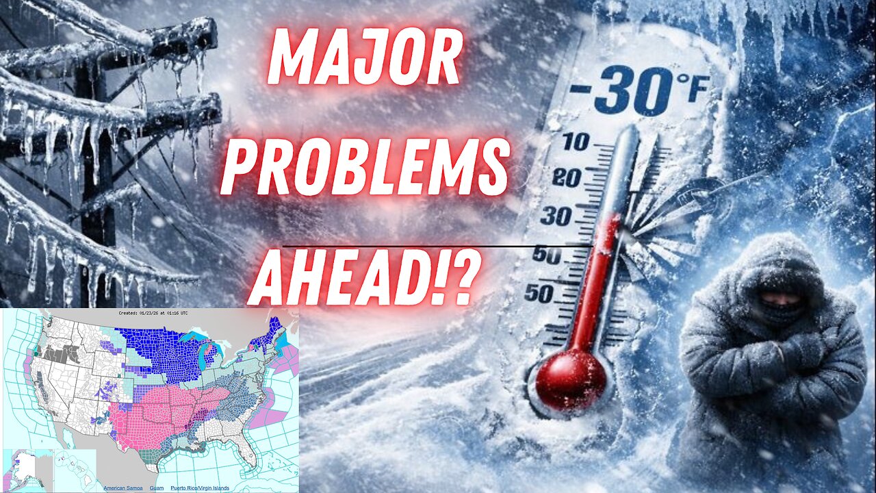
A major winter storm of historic proportions is set to impact the eastern two-thirds of the United States beginning Friday, January 23, 2026, and continuing through the weekend and into early next week. This expansive system will deliver a dangerous combination of heavy snowfall, significant ice accumulation, and bitterly cold Arctic air across a vast region stretching from the Southern Plains to the Northeast.
• Heavy Snowfall: Portions of the Midwest, Ohio Valley, Mid-Atlantic, and Northeast are forecast to receive 6–12 inches of snow, with locally higher amounts exceeding one foot possible in favored areas such as the central Appalachians and parts of the Northeast. These accumulations will create hazardous travel conditions and potential for significant impacts on infrastructure.
• Damaging Ice Storm: A swath across the South, including parts of Texas, Oklahoma, Arkansas, the Tennessee Valley, Georgia, and the Carolinas, faces the threat of substantial freezing rain accumulation. Ice totals may reach or exceed one-quarter to one-half inch in the most affected zones, raising the risk of widespread power outages, downed trees, and dangerous travel due to ice-covered roads and structures.
• Bitterly Cold Temperatures: Following the precipitation, an intense surge of Arctic air will plunge temperatures well below normal—potentially setting record lows across multiple regions. Wind chills could drop to -20°F or lower in many areas, with extreme values approaching -50°F possible in the Upper Midwest and northern Plains. This prolonged cold will extend hazardous conditions well into the following week.
This storm is expected to affect more than 200 million people, making it one of the most widespread and impactful winter events in recent years. Viewers should monitor the latest National Weather Service alerts, prepare for potential power disruptions, limit travel where possible, and take precautions against extreme cold exposure.
Stay informed with ongoing updates as the storm track and intensity continue to evolve. Safety remains the top priority.
-
 59:11
59:11
MattMorseTV
6 hours ago $34.39 earned🔴Trump just CALLED their BLUFF.🔴
55.8K155 -
 57:32
57:32
Flyover Conservatives
14 hours agoHow This Simple System Generated 50X More Leads - Clay Clark | FOC Show
51.2K1 -
 4:09:42
SynthTrax & DJ Cheezus Livestreams
1 day agoFriday Night DJ MIX Livestream TRANCE Special Edition 5:30pm PST / 8:30pm EST
37.8K2 -
 3:45:06
I_Came_With_Fire_Podcast
15 hours agoTRUMP TAKES ON WEF | LEARN TO DENY YOURSELF
33.3K8 -
 7:19:04
SpartakusLIVE
9 hours agoGames w/ Nicky || Friday Night HYPE & GRAPPLE HOOKS
50.6K2 -
 2:14:03
PandaSub2000
3 days agoLego: Pirates Of The Caribbean | ULTRA BESTIES & GAMES (Original Live Version)
34.8K3 -
 3:19:03
Barry Cunningham
9 hours agoLIVE BREAKING: JD Vance Speech At March For Life Event And The Abandoned Kid Hoax!
116K50 -
 LIVE
LIVE
a12cat34dog
8 hours agoUNLOCKING THE TRUE ENDING :: Dead Space 3: Awakened :: IT ALL ENDS HERE {18+}
361 watching -
 2:03:49
Sam Tripoli
19 hours ago $2.38 earnedBroken Sim Live!: Rogan Snubbed By Globes + Trump's 'Board of Peace' + New UFO Footage
33.6K10 -
 2:26:32
Jelxys
7 hours agoFortnite! Here we go.
19.4K2