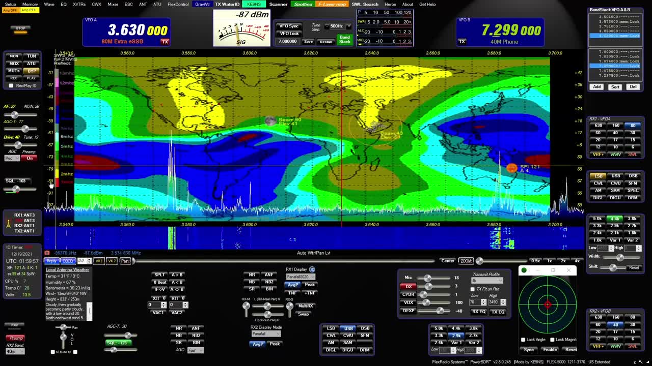
Maps of PowerSDR ke9ns v2.8
0:00 - Hold you mouse over the PowerSDR console "Maps" menu item and hit F1 to get a help window:
LEFT CLICK: SPOTTER TRACKING WORLD Map with Grayline, Sun-Moon Tracking, ISS, DX Spots, VOACAP
WHEEL CLICK: Opens separate Callsign prefix Map window
RIGHT CLICK: Toggles F-Layer, D-Layer, Lightning, Cloud cover Maps ON/OFF (Described below)
----------------------------------------------------------
0:44 - SPOTTER MAP provided by NOAA (see SPOTTER screen)
Shows World map with (SHIFT key) LAT/LONG, Day indicator, and optional Grayline, Sun, Moon, ISS
Shows Clickable (RED) spots directly on map (CTRL key goes directly to Spot Frequency)
Grid lines represent Lat, Long and +/- hours from UTC
VOACAP feature
----------------------------------------------------------
2:11 - F-LAYER MAP provided by: Australian gov space weather service critical foF2-Layer world map. (Updated every 30min)
Colors denoting the highest frequency the f2 ionosphere will reflect vertical directed signals directly back towards earth (NVIS)
Determined using ionosonde radar. The higher the reflect frequencies, the more open propagation will be in those areas.
If your station is under a Blue (or better) area on the F2 map,
you may experience skip conditions on or close to 10m to other Blue (or better) areas of the F2 map.
Red up to Blue usually indicates that the uppers bands are closed.
----------------------------------------------------------
3:28- D-LAYER MAP provided by: NOAA XRAY D-Layer Absorption level world map.
Absorbs Low Band RF in the D-Layer during daylight hours (and X-Ray events)
Higher frequencies can pass through the D-Layer up to the E/F-Layers unless shown on this map.
If you see a Space Weather report of "Radio Blackout", check for D-Layer absorption
----------------------------------------------------------
4:13 - LIGHTNING MAP provided by: Blitzortung
Real-Time but updated every 30 min
White = Recent Lighting strike (within 20 min)
Yellow = (within 40min)
Red = Very Old (within 120min)
HOLD CTRL+Z to Zoom or Magnify an area next to the Mouse on the Map.
----------------------------------------------------------
4:48 - CLOUD COVER MAP (Mosaic) Provided by: University of Wisconsin-Madison
Real-Time but updated every 30 min
Mosaic IR Cloud cover for most of the Earth
Note: No cloud data for lower center section of world map.
HOLD CTRL+Z to Zoom or Magnify an area next to the Mouse on the Map.
Download from my website at: ke9ns.com/flexpage.html
Darrin
ke9ns
-
 15:01
15:01
GritsGG
14 hours agoSolo Dubulars! Most Winning Warzone Player Dominates Lobby!
7.9K -
 13:12
13:12
The Pascal Show
18 hours ago $3.03 earnedTYLER'S ARREST FOOTAGE MISSING?! Local Police Claim Tyler Robinson Arrest Footage Has BEEN DELETED?!
10.9K1 -
 LIVE
LIVE
Lofi Girl
2 years agoSynthwave Radio 🌌 - beats to chill/game to
275 watching -
 1:37:16
omarelattar
20 hours agoEx-Mafia Boss: I Made $8 Million Every Week Until The FBI Destroyed My Life! What I Learned...
12.4K -
 57:44
57:44
TruthStream with Joe and Scott
1 day agoShe's of Love podcast and Joe co-Hosted interview, Mother Claudia and Daughter Juliette: Traveling, Home School, Staying Grounded, Recreating oneself, SolarPunk #514
12.1K1 -
 2:32:42
CAMELOT331
2 days agoCAMELCAST 107 | CECIL SAYS | My Last Stream? Being Kicked Off Youtube
13.6K2 -
 1:16:28
Man in America
18 hours agoThe Study They Tried to BURY: Covid Shots Cause MASSIVE Spike in Cancer w/ Dr. Makis
211K52 -
 2:07:43
Inverted World Live
10 hours agoNASA Finds Strange Rock on Mars w/ Cody Dennison | Ep. 145
103K5 -
 3:29:04
TimcastIRL
10 hours agoTrump Calls For DEATH Of Democrats For Sedition, White House WALKS IT BACK | Timcast IRL
263K156 -
 24:13
24:13
Jasmin Laine
14 hours agoPoilievre Can’t Stop LAUGHING—Liberals IMPLODE After U.S. Ambassador Calls Them Out
31.1K21